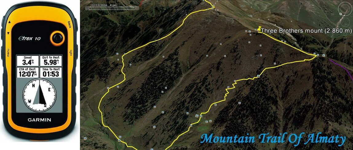
There are a lot of hiking routes in Almaty Mountains, called Trans-Ili Alatau, is the north part of Tien-Shan. I’ll tell you about 10 trails.
First, you must know how get to beginning of routes. From Almaty you can go to the mountains by bus number 12 and 28. The start bus stop of №12 is opposite of the hotel Kazakhstan (Dostyk avenue). The start bus stop of №28 is near the First President Park (Al-Farabi avenue). Cost for one ticket is 80 KZT if you have ONAY card and 150 KZT without it.
You can get to the start point of 7 hiking routes by bus number 12 and to the three routes by bus number 28. The season of routes is from May to October.
First of three hiking trails started from Medeo and across the Kimasar gorge. Medeo ice rink is the final stop of bus number 12. Kimasar gorge begins at 100 m east Medeo and ends on Furmanov and Panorama mounts. There are private ski runs and shelters with rope tows at the edge of the forest on both side of the river Kimasar. There is trail to Furmanov mount along the perimeter of the gorge at a height of the timber. From the mount is opening panoramic view on the gorge of the Left Talgar river.
The first half part of route Kimasar pass goes on car road. Then goes on the trail, which begins on 1,5 kms between the houses. Ascent to gorge across birch forest and goes to pass. Kimasar pass connects the Butakovka and Small Almaty gorges.

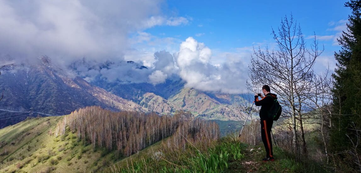
Second route is main valley along the river, which have a waterfall. Ascent to the slope from waterfall and turn right. Go down to the Lenin’s hut. After rest go down to the river Kimasar and returns to the Medeo.

Third route get to mountain range on the good trail. This is a one of the most popular route among Almaty tourists. You can see the Furmanov mount from mountain range. At the top of fir-trees across Entuziast meadow and climb to the north slope of Furmanov mount. From mount open views on the Talgar peak (5.017 m), the Left Talgar valley, the Kumbel mount and city of Almaty.

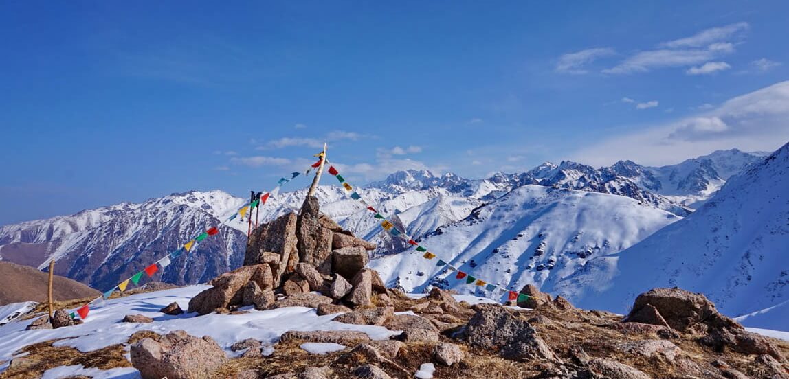
Other three hiking routes begin from the bus stop Prosvetcenets. Start of all route get to the road and across river you must goes on the good trail, which led to Kok Zhaylau plateau.

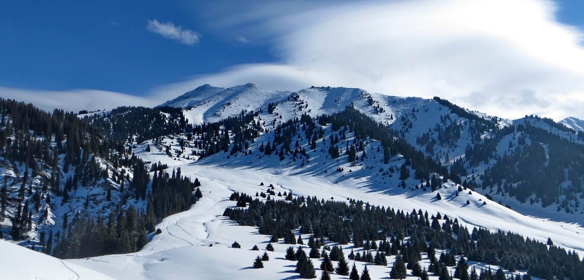
If you want continues route, you goes the south. There are Three Brothers mount with three rocks. Good trail get to the top. To the east is Kumbel mount. You can go up to mountain range connecting Three Brothers and Kumbel mounts or go up to the valley for ascent on the Kumbel mount. From mount open views on the Tuyuksu valley, the Abay peak, the Komsomol peak and mountain ranges of the Big Almaty valley. Return to the Prosvetcenets. Mass climbing to the Kumbel mount spends on the International Tourism Day (September 27).


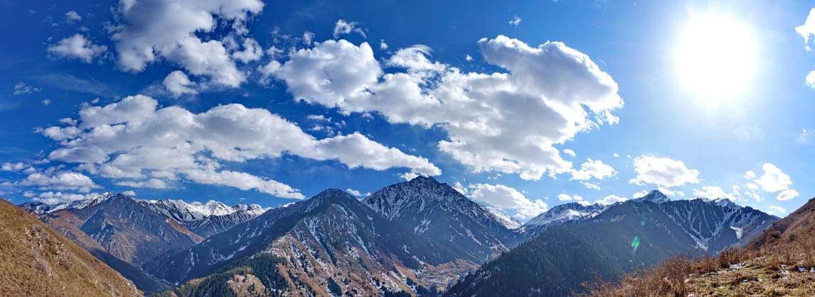
Next three routes begin in the Big Almaty gorge. You are can get there on bus number 28 to the end stop named GES-2 (HPP-2) or Kokshoky village. Two routes, Japanese road and View point of Big Almaty valley, are begins from ascent along the pipeline, which located in the east of the bus stop GES-2. Japanese road begins near the end of pipeline, gets to slope and goes down in the Big Almaty gorge. This is road built Japanese war prisoner in 1948. From road open view on the Big Almaty peak (3.682 m) and same-named mountain valley.

Route View point begins from the end of pipeline and traverses mountain range in east direction to mount at height of 2.360 m. View is better than Japanese road. You can see a lot of peaks: Sovetov (4.317 m), Ozerniy (4.131 m), Molodejniy (4.147 m), Big Almaty (3.682 m), Kargalinskiy (3.675 m) and etc. This is circular route. Descent gets to Kok Zhaylau valley near the confluents of the rivers Kazachka and Tersbutak. Then you go down along river at car road to eco-post of National Park You are returns the city in the bus number 28.

The third route in the Big Almaty gorge is The Wolf mount. This is circular route too. You need go up in south direction at car road 1 km (Prohodnoe gorge) and turn right in small gorge named the Kaskabas. We are get ascent for end dirt car road and cross spring. The slope traverses to north direction mountain range on bad trail. The trail leads to mount of Wolf. There are not wolf. View opens at mountain valleys Prohodnoe and Kargalinskoe. View is very good on Big Almaty peak. After rest you goes down at mountain range in north-eastern direction. In the beginning is not trail. Trail has in next fir-trees forest. This is route leads at the Sunkar falcon nursery below eco-post of National Park. You are returns the city in the bus number 28.

The unique nursery Sunkar was established in 1989 with the aim of breeding rare and endangered species of birds of prey, especially saker falcons and golden eagles in the Red Book of Kazakhstan, whose numbers by 80-years of the last century, was reduced by 80%, and return them to the wild. 2060 falcons have been grown for 20 years and 600 saker falcons released in the nature.
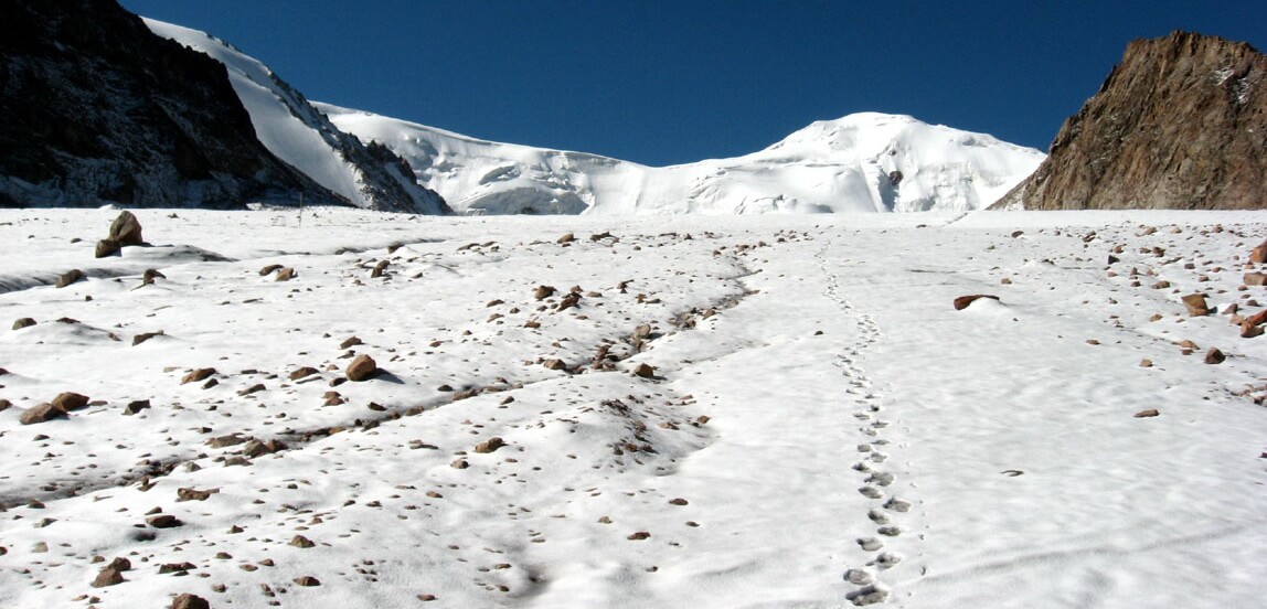
Last, tenth route, begins from Shymbulak ski resort at height of 2.270 m. You can go up there on eco-bus or on cable car from Medeo. Cost is accordingly 600 KZT and 2000 KZT in both directions. It’s simple route. The trail gets on the alpine car road. You are crossing the Alpine Rose Hotel, the Tuyuksu mountaineering base, the memorial of Mountain Victims, the Tuyuksu Gate huge rocks and getting the Mynzhylki dam. The Mynzhykli tract located at height of 3.000 m. There are open good views at mountain peaks of Nothern Tien-Shan of height bigger than 4.000 m. You can go up from Mynzhilki to moraine lake number 6, to glaciological station Tuyuksu, to glacier and climbing to a lot of mountain peaks. Return is the Shymbulak.

10 HIKING TRAILS OF ALMATY MOUNTAINS
|
Route name – link to GPS-trek (Bus stop) |
Distance, kms | Altitude, meters | Duration, hours | Bus number |
|
Kimasar pass (Medeo) |
6 | 1670-2080-1670 | 3 |
12 |
|
Waterfall & Lenin’s hut (Medeo) |
10 | 1670-2420-1670 | 5 |
12 |
|
Furmanov mount (Medeo) |
15 | 1670-3055-1670 | 7-8 |
12 |
| Kok Zhaylau plateau (Prosvetcenets) |
11 |
1550-2250-1550 | 5 |
12 |
| Three Brothers mount (Prosvetcenets) |
16 |
1550-2860-1550 | 8 |
12 |
| Kumbel mount (Prosvetcenets) |
19 |
1550-3220-1550 | 9-10 |
12 |
| Wolf mount (GES-2) |
10 |
1420-2305-1320 | 5-6 |
28 |
|
Japanese road (GES-2) |
12 | 1420-2000-1420 | 5 |
28 |
| View point of Big Almaty valley (GES-2) |
13 |
1420-2360-1320 | 6-7 |
28 |
|
Mynzhylki dam (Medeo) |
12 | 2270-3030-2270 | 6 |
12* |
*then change to the Shymbulak eco-bus
All mountain trails of Almaty is kmz-format (computer programme Google Earth, iphone programme MapsMe, etc.)
Welcome to Almaty and Tien-Shan Sky Mountains!
